Difference between revisions of "Lunar Map (Mean Earth Region62)"
(Installing scrolling imagemapped map (finally)) |
|||
| Line 8: | Line 8: | ||
| − | |||
<ImageMap image="[[Media:moon.jpg]]" map="[[Media:moon.map]]"/> | <ImageMap image="[[Media:moon.jpg]]" map="[[Media:moon.map]]"/> | ||
| − | </ | + | |
| + | <imagemap> | ||
| + | Image:moon.jpg|60N195 | ||
| + | |||
| + | rect 0 0 119 119 [[60N195|60N195]] | ||
| + | rect 120 0 239 119 [[60N225|60N195]] | ||
| + | |||
| + | desc top-left | ||
| + | </imagemap> | ||
Revision as of 04:54, 7 March 2007
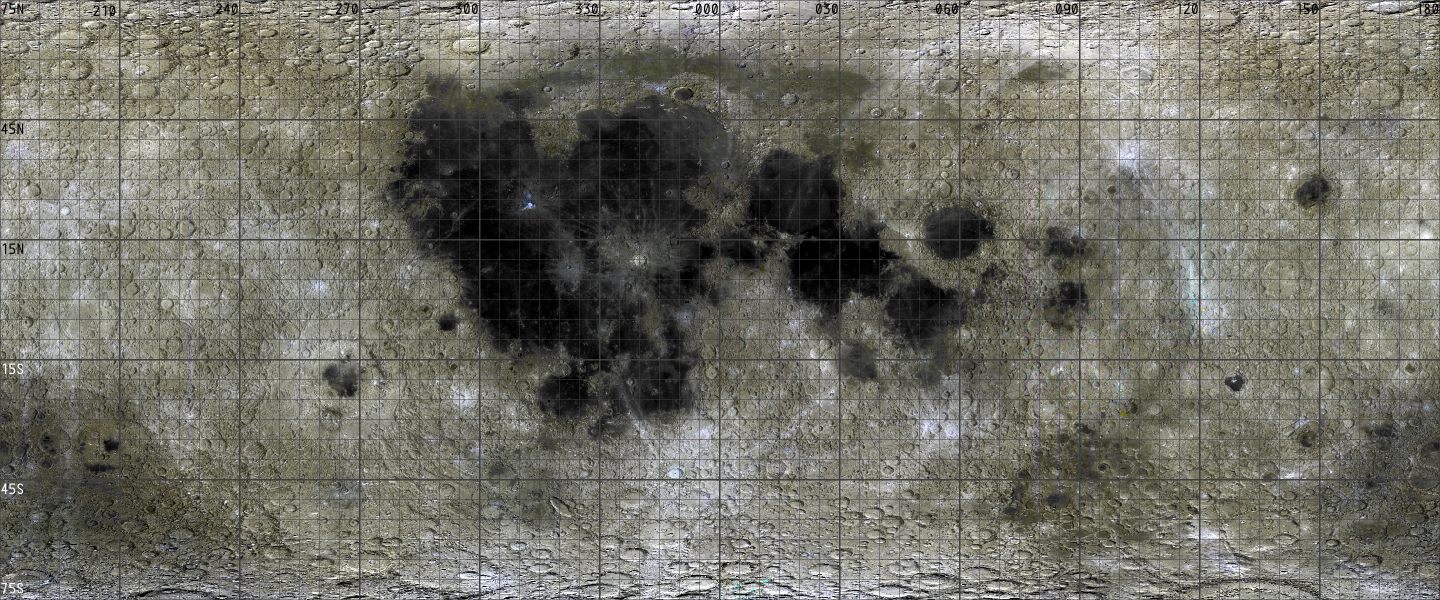
This is the Interactive Map Proof of concept using the depreciated Mean Earth Region62 model. If you hane problems viewing this page, try Lunar Map Small (Mean Earth Region62).
Regions 90N and 90S are not presently mapped here.
To view a region article, click on the region or feature you wish to visit.
At present, only regions 90N and 30N075 have articles.
Error: Must specify an image in the first line.