Difference between revisions of "Hadley Rille"
Jarogers2001 (talk | contribs) |
Jarogers2001 (talk | contribs) |
||
| Line 10: | Line 10: | ||
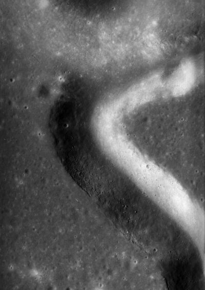
[[Image:As15-81-10894.jpg|right|thumb|400px|The ejecta blanket of the more recent crater [[Hadley C]] interrupts the course of the rille. Photo credit: NASA]] | [[Image:As15-81-10894.jpg|right|thumb|400px|The ejecta blanket of the more recent crater [[Hadley C]] interrupts the course of the rille. Photo credit: NASA]] | ||
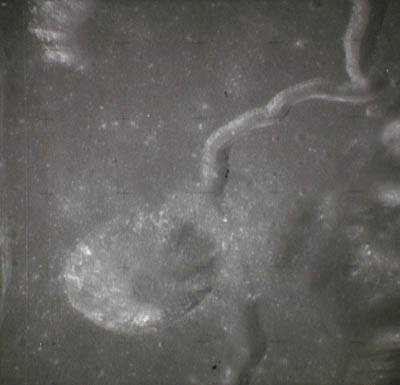
| − | [[Image:Apollo_15_panaromic_camera_landing_site.jpg|right|thumb|400px|A section of panoramic image showing Hadley Rille and the [[Apollo]] | + | [[Image:Apollo_15_panaromic_camera_landing_site.jpg|right|thumb|400px|A section of panoramic image showing Hadley Rille and the [[Apollo 15]] landing site. The landing site may be located via the white patch of disturbed [[regolith]] in the lower left corner of the image. Photo credit: NASA.]] |
Revision as of 17:14, 9 August 2008
| This article is a stub. You can help Lunarpedia by expanding it or sorting it into the correct stub subcategory. |

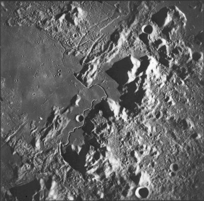
A photo of Hadley Rille taken by the Apollo 15 Mapping Camera on the Endeavor CSM. The Lunar Module is located near the center between Hadley Rille and Mons Hadley. Photo Credit: NASA
Also known as Rima Hadley, this rille is located within Mare Imbrium and is near the location of the Apollo 15 moon landing in an area called the Marsh of Decay (Palus Putredinus). Named for Mons Hadley, which is in turn named for John Hadley, Hadley rille begins at Béla crater and follows a generally northeast course towards Mons Hadley. It is centered at the selenological coordinates 25.0° N, 3.0° E.
{This article is unfinished. Please feel free to add content.}

The ejecta blanket of the more recent crater Hadley C interrupts the course of the rille. Photo credit: NASA


