File:Lagrange B.jpg
Revision as of 22:12, 8 April 2007 by 86.42.139.208

Size of this preview: 685 × 599 pixels. Other resolutions: 274 × 240 pixels | 2,400 × 2,100 pixels.
Original file (2,400 × 2,100 pixels, file size: 709 KB, MIME type: image/jpeg)
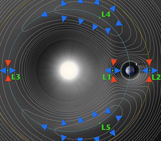
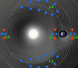
Lagrange points with force contour lines.
File history
Click on a date/time to view the file as it appeared at that time.
| Date/Time | Thumbnail | Dimensions | User | Comment | |
|---|---|---|---|---|---|
| current | 04:17, 12 April 2007 | | 2,400 × 2,100 (709 KB) | Mdelaney (talk | contribs) | Lagrange points 1-5 of the Sun-Earth system Diagram of the Lagrange Point gravitational forces associated with the Sun-Earth system. WMAP orbits around L2, which is about 1.5 million km from the Earth. Lagrange Points are positions in space where the gra |
| 12:20, 8 March 2007 | 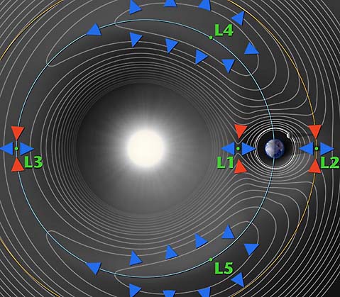 | 479 × 419 (49 KB) | Jarogers2001 (talk | contribs) | Lagrange points with force contour lines. [http://map.gsfc.nasa.gov/m_mm/ob_techorbit1.html http://map.gsfc.nasa.gov/m_mm/ob_techorbit1.html] {{PD}} |
You cannot overwrite this file.
File usage
The following 2 pages use this file:


