File:Mare Orientale Map GA03 400 8bit.png
Revision as of 16:06, 3 October 2006 by Strangelv (talk | contribs) (Mare Orientale prime meridian map intended for use with the 290 Sector proposal. From Clementine data, edited by James Gholston. Public Domain)
Size of this preview: 800 × 300 pixels. Other resolutions: 320 × 120 pixels | 1,067 × 400 pixels.
Original file (1,067 × 400 pixels, file size: 359 KB, MIME type: image/png)
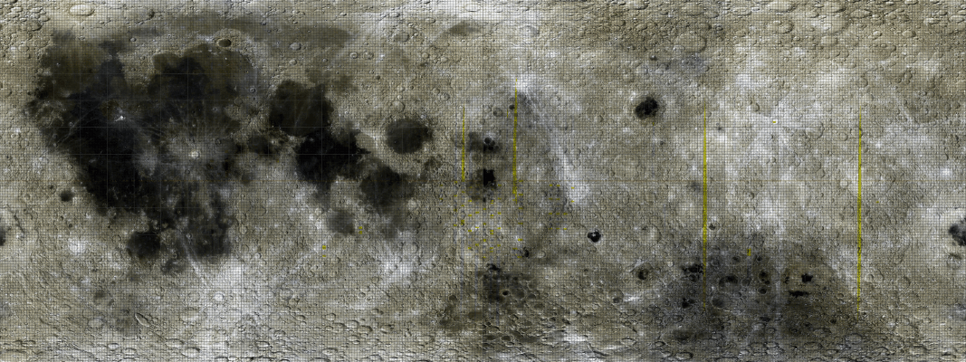
Mare Orientale prime meridian map intended for use with the 290 Sector proposal.
From Clementine data, edited by James Gholston.
Public Domain
File history
Click on a date/time to view the file as it appeared at that time.
| Date/Time | Thumbnail | Dimensions | User | Comment | |
|---|---|---|---|---|---|
| current | 16:06, 3 October 2006 | 1,067 × 400 (359 KB) | Strangelv (talk | contribs) | Mare Orientale prime meridian map intended for use with the 290 Sector proposal. From Clementine data, edited by James Gholston. Public Domain |
You cannot overwrite this file.
File usage
The following 2 pages use this file:


