Difference between revisions of "Lunar Map (266 Sector)"
m (made not linkless) |
|||
| (One intermediate revision by the same user not shown) | |||
| Line 1: | Line 1: | ||
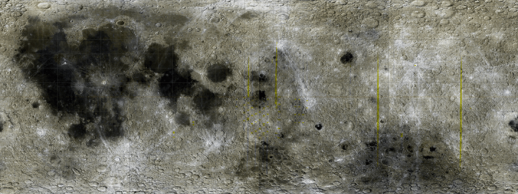
| − | + | This is a reduced size version of the [[Lunar Map|source map]] (which was created in four separate quadrant images for a total size of 7200 by 2700 pixels in quite a few layers) for sector article maps for the '''266 sector proposal'''. It lacks the fifty polar sectors, which are to have two separate maps. | |
| − | |||
| − | This is a reduced size version of the source map (which was created in four separate quadrant images for a total size of 7200 by 2700 pixels in quite a few layers) for sector article maps for the '''266 sector proposal'''. It lacks the fifty polar sectors, which are to have two separate maps. | ||
Each sector article stub is to be automatically generated. Feature article stubs can also be generated automatically and when uploads are working (or a bot is created and installed) they can be uploaded ''en mass''. | Each sector article stub is to be automatically generated. Feature article stubs can also be generated automatically and when uploads are working (or a bot is created and installed) they can be uploaded ''en mass''. | ||
| Line 10: | Line 8: | ||
[[Image:Mare Orientale Map GA03 400 8bit.png]] | [[Image:Mare Orientale Map GA03 400 8bit.png]] | ||
</DIV> | </DIV> | ||
| + | |||
| + | |||
| + | [[Category:Maps]] | ||
Latest revision as of 06:40, 10 June 2007
This is a reduced size version of the source map (which was created in four separate quadrant images for a total size of 7200 by 2700 pixels in quite a few layers) for sector article maps for the 266 sector proposal. It lacks the fifty polar sectors, which are to have two separate maps.
Each sector article stub is to be automatically generated. Feature article stubs can also be generated automatically and when uploads are working (or a bot is created and installed) they can be uploaded en mass.


